In 1810, Pittsburgh had fewer than 5,000 residents, but rapid growth was on the horizon. The Ohio, Monongahela, and Allegheny Rivers converge in Pittsburgh and, at the turn of the 19th century, most commercial goods traveled by river. Many desirable natural resources, especially coal, could be found in close proximity. By 1910, Pittsburgh was a city of more than a half a million people, the eighth largest metropolis in the country. At its peak population, the city had 370,000 more residents than it has today.1
Yet the three rivers and the nearby hills also posed significant challenges to the city's development. According to Bob Regan, public transportation was particularly daunting.2 Pittsburgh's trolley system, including the incline, were efforts to mitigate these challenges.
Of all the creative solutions implemented over time, public stairways were arguably the most important. As Regan explains, "Pittsburgh has hundreds of streets complete with street signs, and oftentimes houses, composed entirely of steps."3 Regan initially tabulated 712 city staircases in a 2004 book on the subject but revised that total to 739 in his 2015 book. Pittsburgh's City Steps website puts the current count at 800. All this adds up to more than 45,000 public steps in 66 of Pittsburgh's 90 neighborhoods.4
Without these steps, Pittsburgh might not have survived. Most industry in the city, as early as 1810, produced a significant demand for manual labor. Yet rapid growth and the city's constrained geography made riverfront land increasingly expensive. As a result, according to Regan, "the only affordable, inhabitable land for the common people was on the hilltops or, in some cases, along the hillsides."5 Municipal staircases allowed Pittsburghers to live in these hilltop neighborhoods and walk to their jobs at steel mills, glass factories, packing plants, stockyards, and warehouses.6
Although most industrial era employment has left Pittsburgh, stairs continue to be an important part of the city. The city conducted a survey in 2017 and found that 54% of respondents use municipal steps at least once a week. Many use the steps for everyday travel; Regan points out 344 of the staircases are legal streets. According to Pittsburgh's City Steps website, "nearly two-thirds of the steps are in low or moderate-income areas. They are critical assets in the City’s pedestrian transportation network and beyond."7
Municipal staircases are an ongoing maintenance and preservation concern. Many fit into a larger category of "paper streets," which is a term for streets or roads that appear on maps but do not exist in reality or, in the case of staircases, only allow pedestrian transit. In an article for the Pittsburgh Post-Gazette, Emily DeMarco writes, "Paper streets are like unfinished thoughts: streets drawn on a map for a neighborhood but never adopted by the city. So no one really knows who's responsible for them when they need a major repair, as this one has off and on for several years."8
In July 2017, Pittsburgh launched the Citywide Steps Assessment, "a systematic method for prioritizing which sets of steps should be repaired and rebuilt."9 The team conducted an online survey about staircases and their everyday use, which collected 1493 reports pertaining to 469 different staircases.
The city survey found that the most commonly reported reason for using Pittsburgh steps was for exercise.10 This relatively innocuous detail might gesture at two intersecting populations, one using staircases primarily to move to and from a low income neighborhood to a workplace and another taking the stairs by choice, as a way to raise their heart rate and burn calories.
Of course, these populations might be more intertwined than these data suggest. Many poorer residents, for example, may also use the stairs for exercise. Nevertheless, we can train our eyes on the city's staircases in order to revisit Pittsburgh's economic legacy, and that makes these staircases even more important to the city.
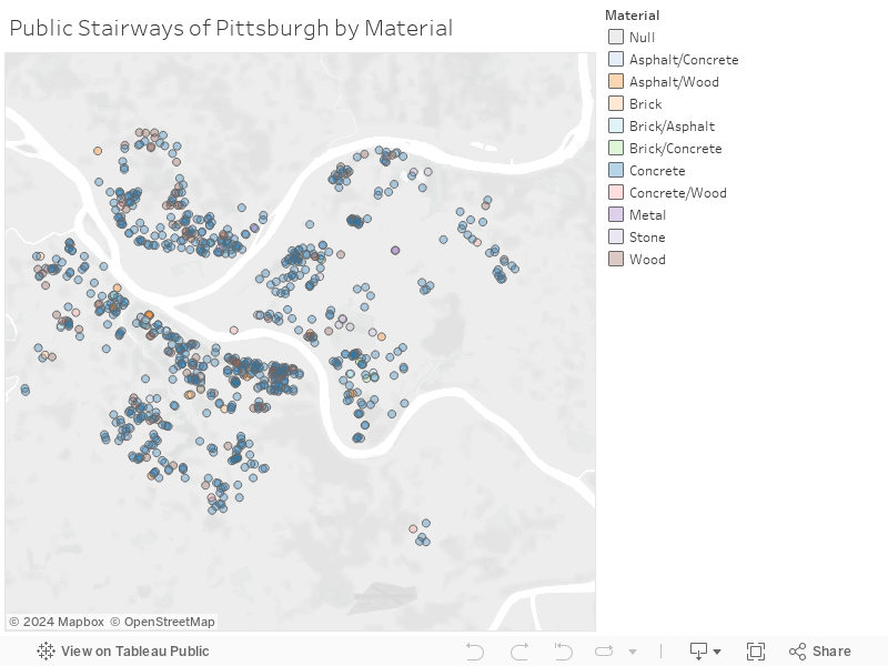
The interactive map below allows you to see locations of staircases, as well as the materials used in constructing them. It was built using the Pittsburgh Steps Map dataset, courtesy of the Western Pennsylvania Regional Data Center.11